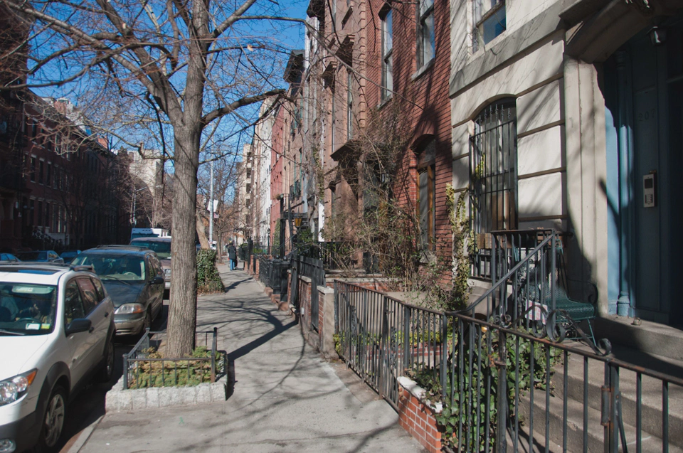
The day after I arrived to New York I went to buy some clothes. While navigating through the city in search of a clothes shop (I’m not too experienced in this field) I discovered how useful the street naming and layout systems they have used are. North South streets are named “1st Avenue”, “2nd Avenue” and so on while East-West streets are named “1st Street”, “2nd Street”, etc. For someone like me who easily gets lost without maps having a deterministic street layout and naming system is a blessing. I felt so confident about my navigational skills that I almost didn’t have to look at the 2 paper maps and the GPS-enabled digital map that I carried with me.
Such street layout along with the flatness of Manhattan helps reducing the claustrophobic feeling of feeling surrounded by skyscrapers as your eyes get lost in the distance in both ends of most of the streets.
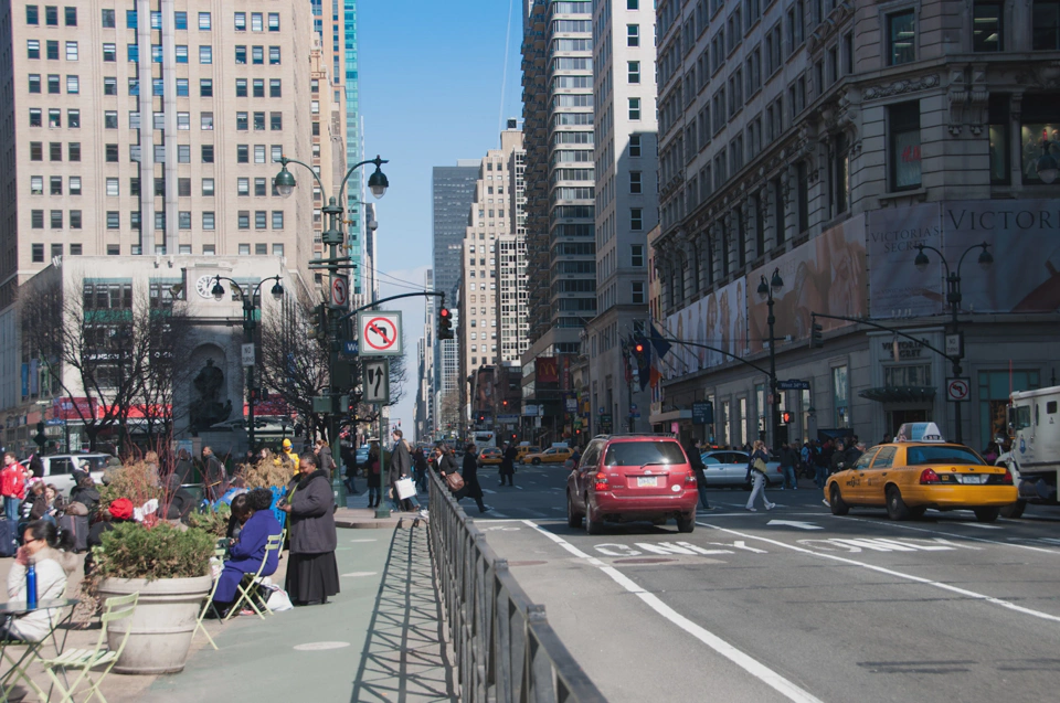
After shopping I went with a fellow googler to the Metropolitan museum which I found actually engaging. The following photos show some of the more interesting areas that we saw.
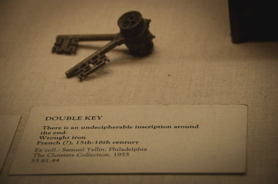
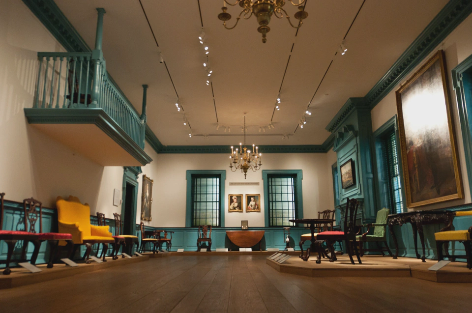
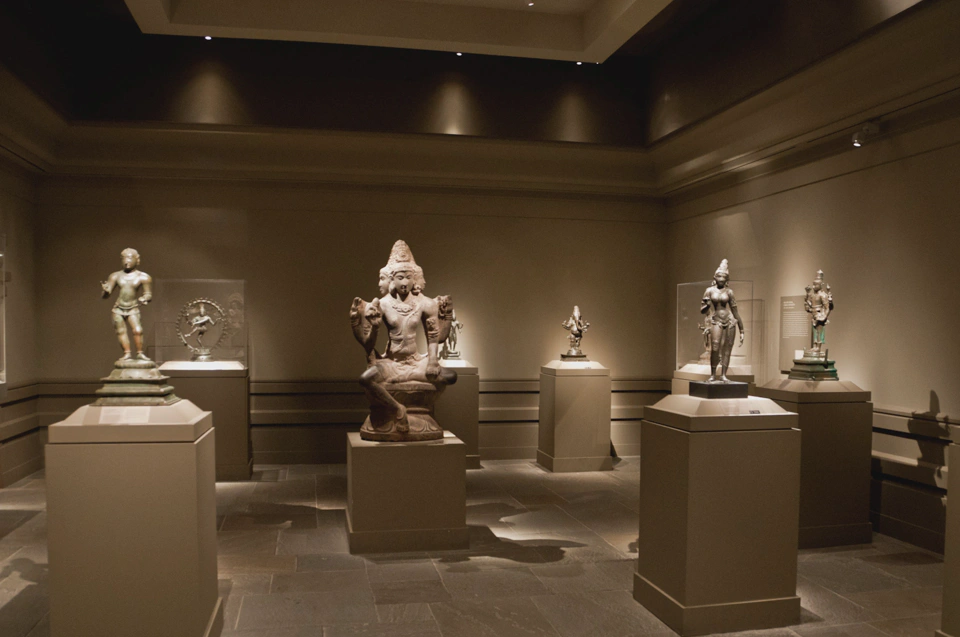
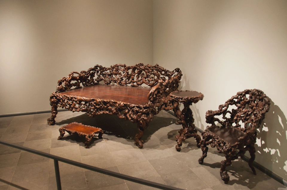
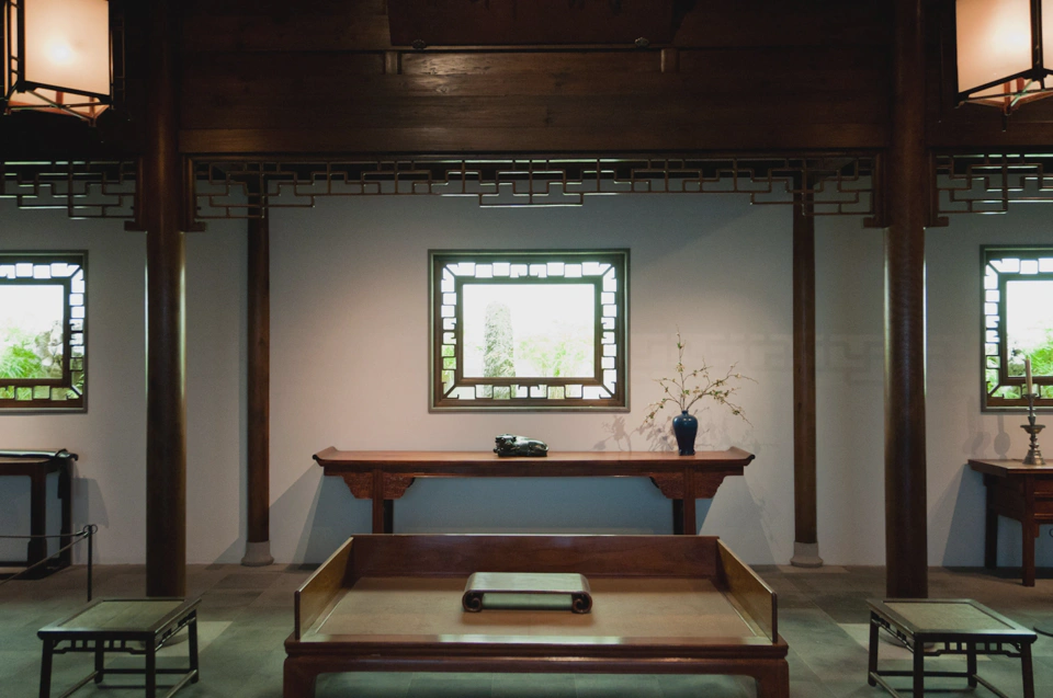
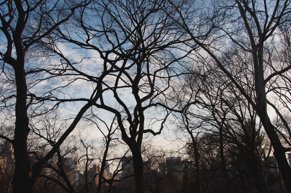
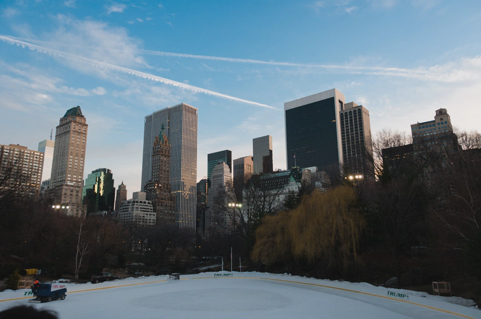
After leaving the musem we took a walk through Central Park trying to snap a few nice photos but it was already too late and we ran out of light sooner than we expected.
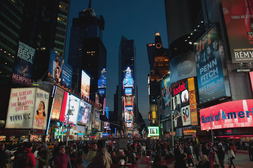
Our last touristy stop of the day took place in Times Square (thanks Ian, it was definitely worth the detour!). Memories of Tokyo and Osaka quickly flew through my mind.
The rest of the week went by very quickly. It’s funny that in some of the streets you can’t spot a single person while others are packed. After such a street layout I was expecting an even population distribution across the streets.
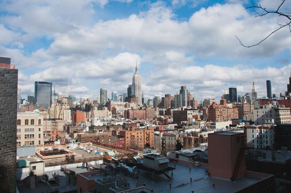
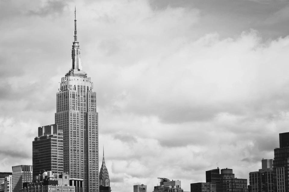
The day before leaving the city I went to a high floor in our the New York office and took the following photos.
And with that finished my New York trip as a few hours later, in the middle of the night, I would leave this interesting city and fly towards the East Coast.
